


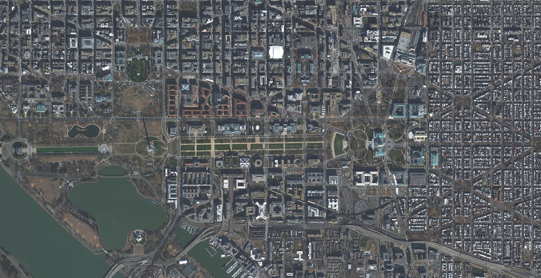
High-resolution satellite imagery is a tool that can be immensely powerful if you’re able to implement it correctly. With tools like the Pleiades Neo satellite high-resolution images, you can end up with some truly incredible-looking images that can help you see a birds-eye view of just about any location on the planet. However, it can also be daunting to look at these pictures with little idea of how to use them for your own needs. If you’re thinking about how high-resolution satellite images can benefit you, here are four possible ways to use the images you receive.
Individual Artistic Projects
Artistic projects are one of the options that can sometimes benefit from satellite images. If you’re creating your own artistic project and you want to use an image from an actual city street to fill it out, you can benefit from high-resolution satellite images. Although you may be able to find some of these online for free, you’ll need the appropriate rights to turn it into your own artwork. Plus, you can also use these satellite images to make sure you get the perfect image.
TV and Film
Many TV and film studios have used high-resolution satellite images as part of their imagery. Have you ever seen a TV show or film studio show some kind of map imagery that looks like an actual satellite image? Chances are, that is real satellite footage that the studio paid to be able to use. Whenever you see someone ask to “enhance” a picture of top-down street imagery, it was probably purchased from a satellite imagery company.
Video Games
You may not realize this, but many video game companies don’t make all of their images from scratch. Many of those images are cobbled together from existing assets. If you have a loading screen that points out your location and the screen then switches to the actual gameplay, the loading screen could very well be real satellite footage that the game developer purchased for this very use.
Managing Environmental Concerns
A real-world application for high-resolution satellite imagery is in managing environmental concerns. With high-resolution satellite imagery of high-risk areas, environmental organizations can make sure they know what’s happening with these areas and how they may be able to help. This is especially true because these satellites take two images per day. That means they can track the environmental concerns as they’re happening in real time.
Conclusion
High-resolution satellite imagery is a great way to get an accurate image of the world around you. Whether you’re using that image in a TV show or film, a video game, your own artistic project, or to understand the environment, the high-resolution nature of it can be an incredibly beneficial way to get as much or as little detail as you want. If you’re looking for a detailed image of just about anywhere on the planet, you’ll want to look into high-resolution satellite images to get those pictures for your personal or commercial use.


